Tettegouche State Park

Highlights: 

-Backcountry Hikes

-Waterfalls

-Stellar Lakeside Hikes

-Brand New Visitor Center 

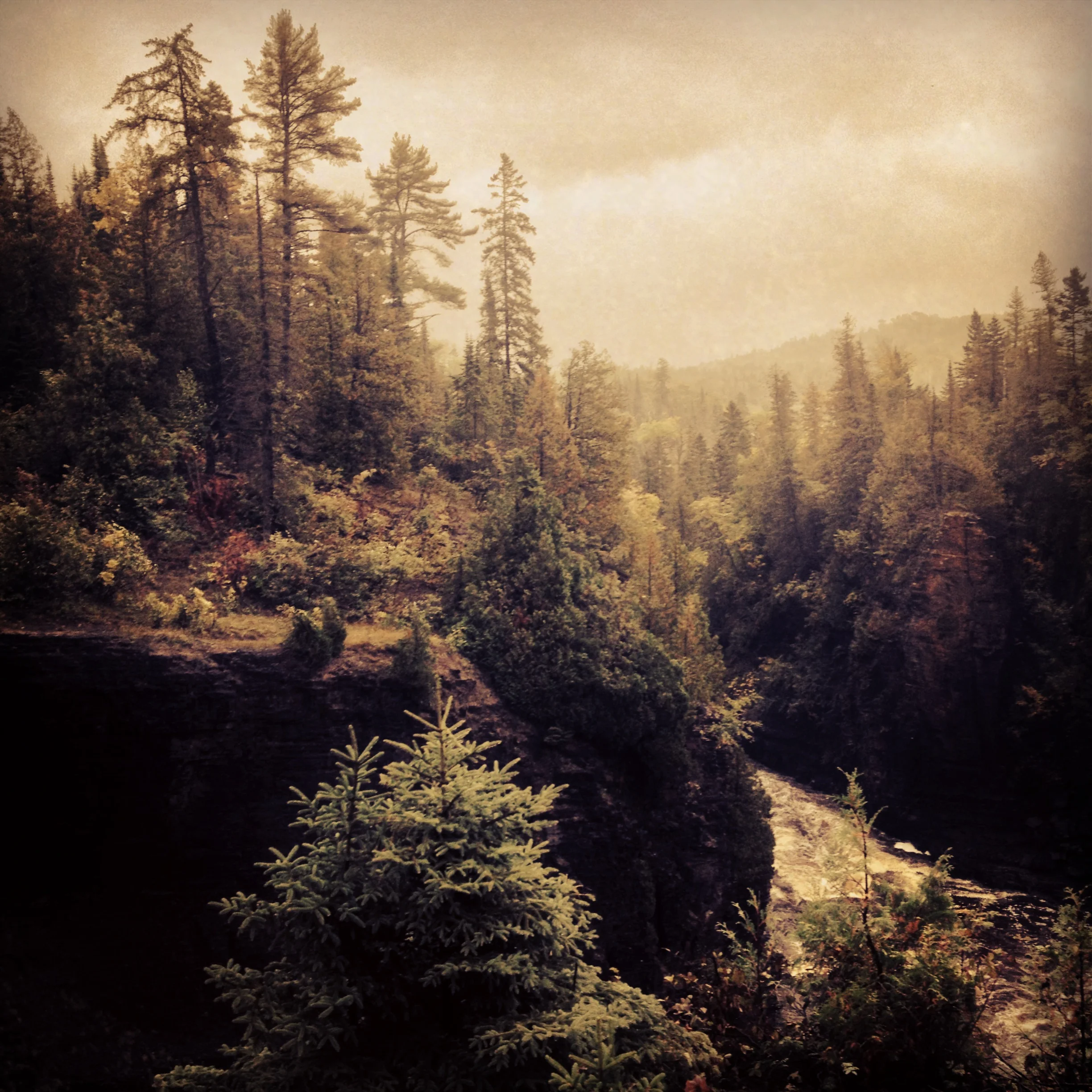
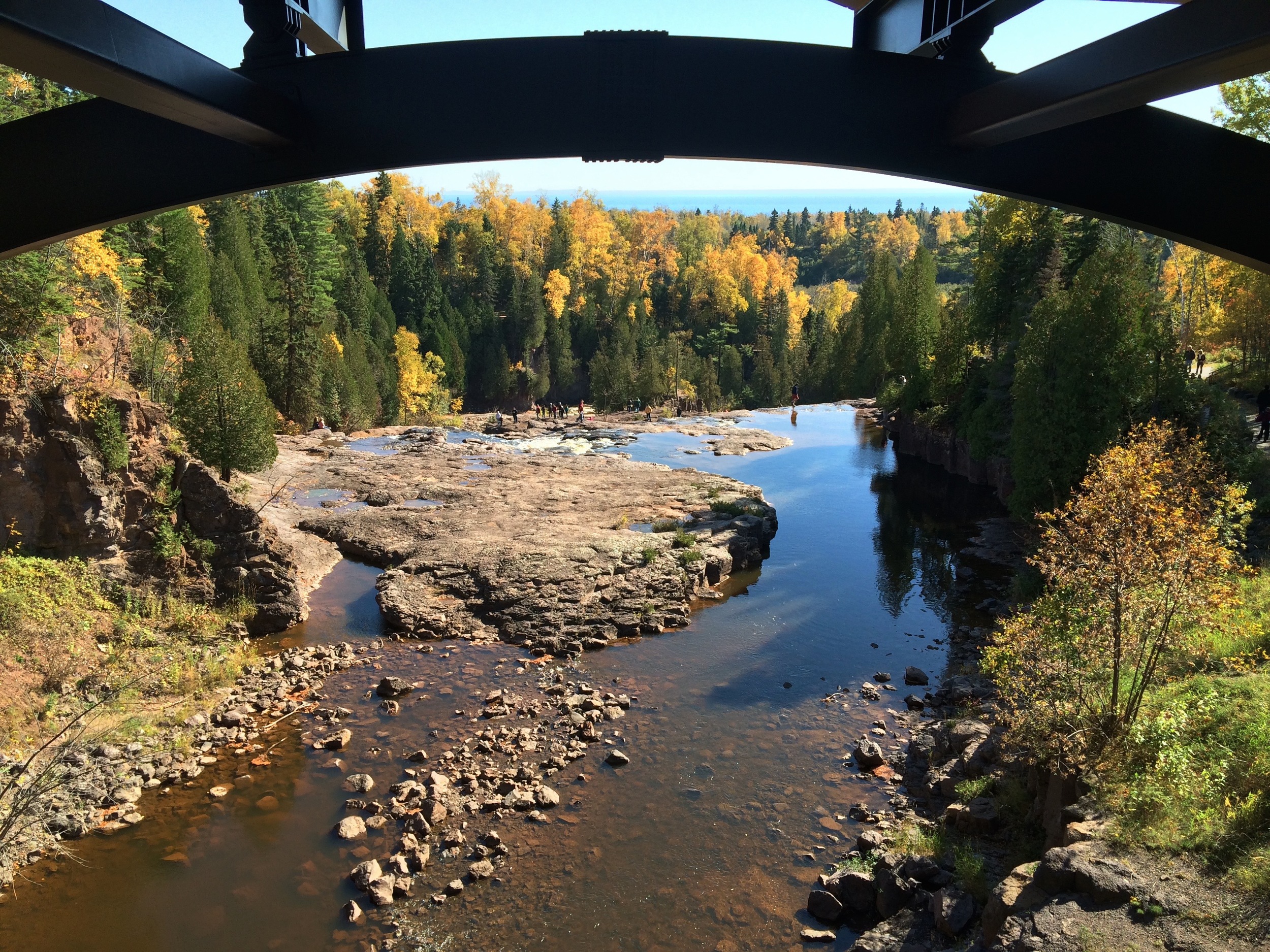
The view from the top of High Falls at Tettegouche State Park

The Park

If the Minnesota State Park system had a flagship park, it would be Tettegouche. This 9,500 acre park along the Baptism River boasts 23 miles of trails including a section of the Superior Hiking Trail (SHT), three waterfalls, and a spectacular shoreline along Lake Superior. An easy hike is to High Falls, cascading 60 ft over the basalt cliffs. Inland lakes offer prime trout fishings and the high cliffs along the trail to Shovel Point is one of the most popular climbing locations along the shore. And if you need a break from your outdoor adventures, the visitor center features a massive central fireplace and comfortable seating to hang out and relax. The only drawback is that the campsites, which are still great, are not situated right along the lake like Split Rock or Temperance. Nevertheless, this park truly has something for everyone and is a must visit. 

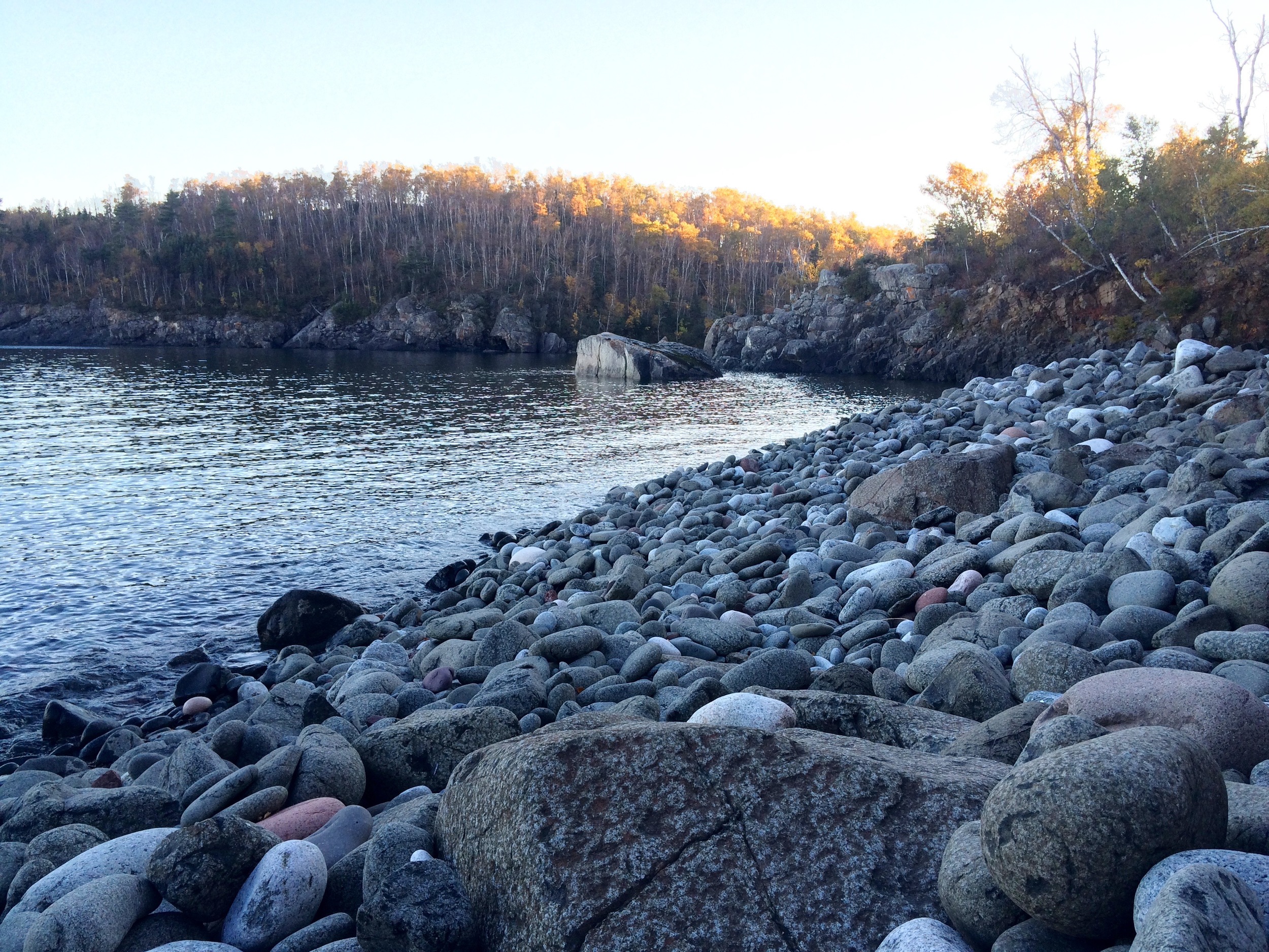
The cliffs at Shovel Point in Tettegouche State Park 

The Hike

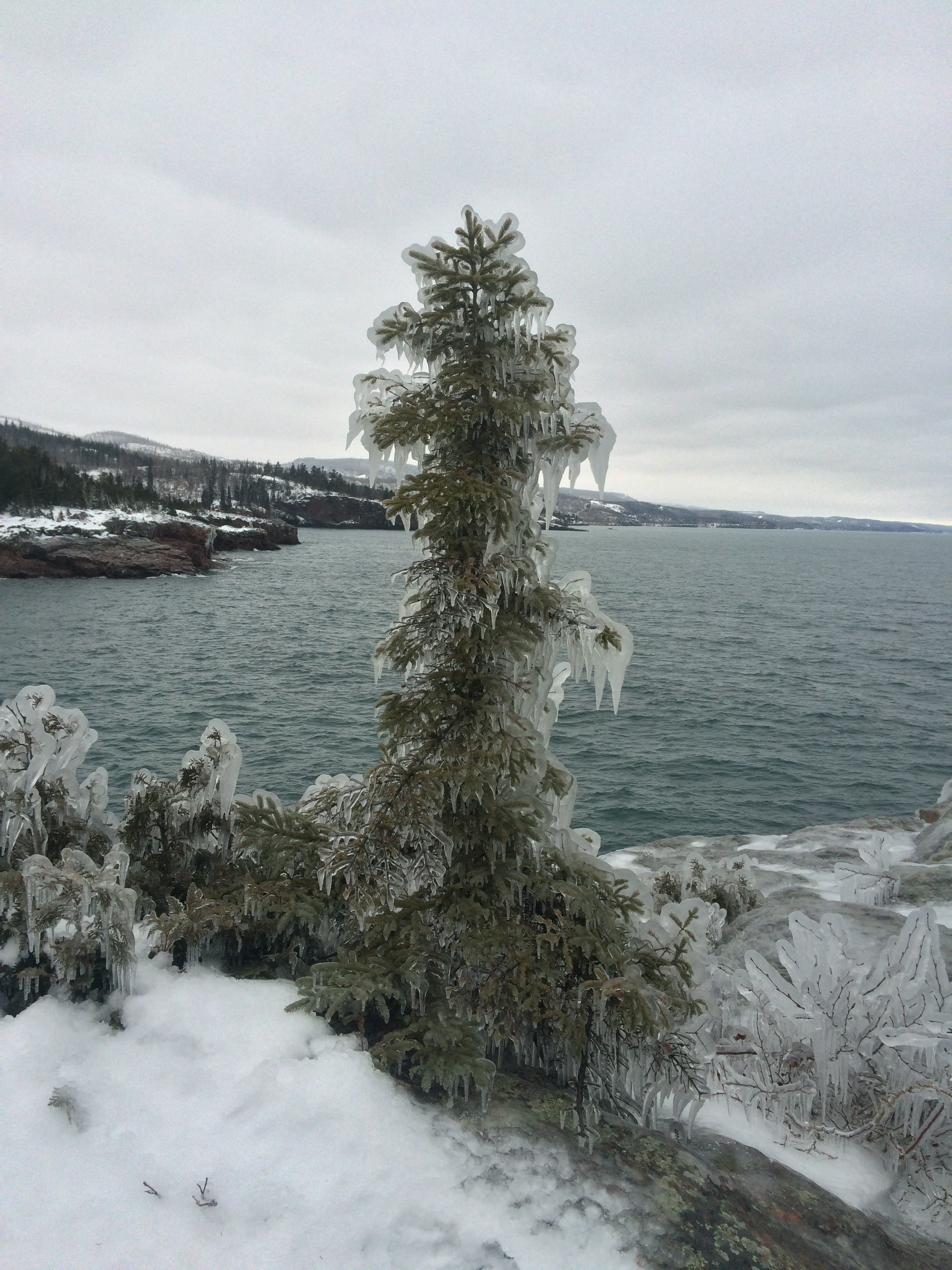
Begin your 2-mile hike behind the visitor's center following the signs for the Hiking Club trail or Shovel Point. The trail heads east along shore with several overlooks along the way. These cliffs are a favorite place for rock climbers and hook ups are built into the rock for your convenience. The trail ends at a point jutting out into the water with great views of the lake and the surrounding terrain. Shovel Point is unsheltered and can be windy! If it is cool weather, be prepared for windchill and if it is winter, be careful of the thick ice that coats everything along the shore. Loop back through the woods. 

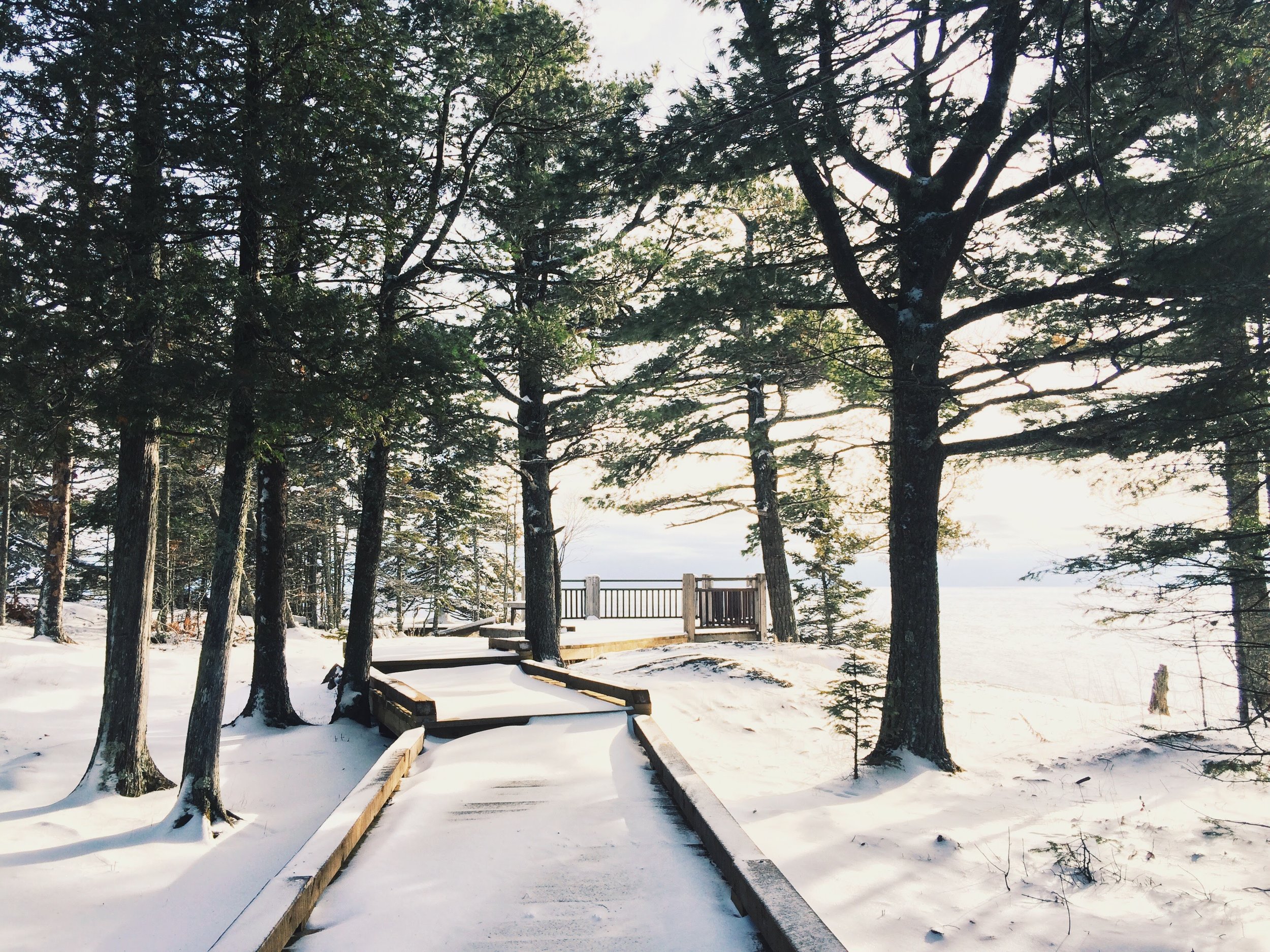
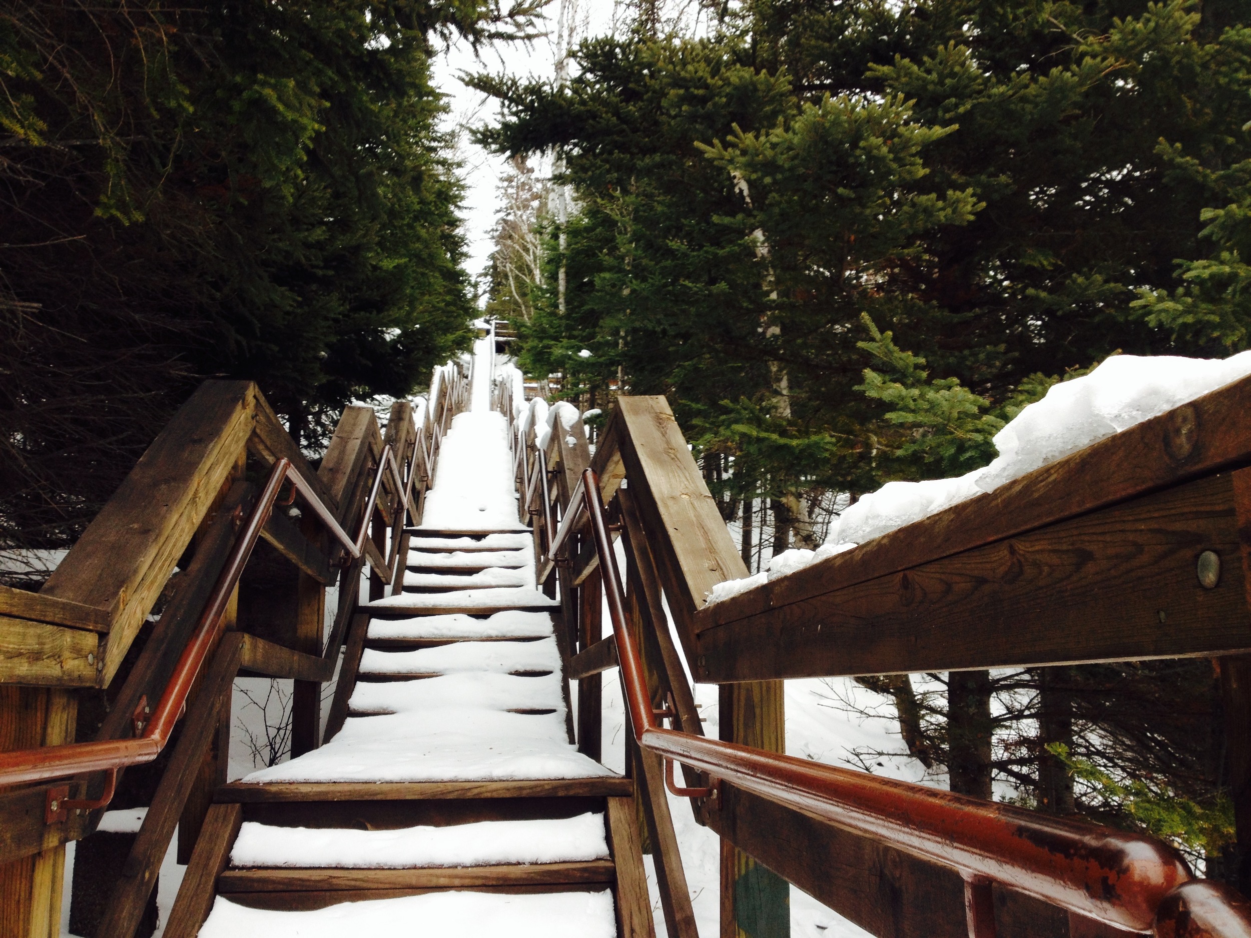
The Steps to Shovel Point in Winter, the end of the Hiking Club Trail at Tettegouche

The Drive

Tettegouche is along Hwy 61 on the North Shore of Lake Superior. This beautiful scenic byway has been expounded upon in other posts on this site (just search "Hwy 61"), so I won't go into it here, but I do want to mention one stop every road tripper must visit on the way to Tettegouche. Just before reaching the park, there is a turn off to Palisade Head. These cliffs are significantly higher than those at Tettegouche and provide breathtaking views of the shore. It is also a great place for rock climbing, but don't get to close to the edge if you're not harnessed in. It's a long fall! 

Honeymoon Rock at Tettegouche State Park with Palisade head visible in the distance. 
Split Rock Lighthouse State Park

Highlights

-Historic Lighthouse

-Ellison Island

-Corundum Point

-Lakeside Campsites

Ellison Island 

The Park

On November 28, 1905, a violent storm hit Split Rock Point on the North Shore of Lake Superior. While large storms aren't unusual at Split Rock, this particular storm resulted in the destruction of twenty-nine ships on the lake in a single day, prompting the construction of Split Rock Lighthouse. Dubbed at one point "the most dangerous piece of water in the world," the waves crashing against the cliffs can sometimes soak the lighthouse windows nearly two-hundred feet above the surface of Superior.

I suggest visiting during a calmer, summer day when the lake is still and the distant Wisconsin shore is just visible. Make sure you check out the lighthouse area itself, which is directly adjacent to the parking lot, or even opt to take a tour of the interior. A side hike down to the rocky shore next to the lighthouse will reveal the remains of a 19th century Norwegian fishing village, where you can follow in these early settlers' footsteps by angling for the park's lake trout or Pacific salmon, yourself.

View of Split Rock Lighthouse

The park has some of the best drive-in campgrounds on Lake Superior, but if you're feeling particularly adventurous, rent a kayak from Sawtooth Outfitters in Tofte and head to one of the park's remote kayak sites only accessible by water.

Finish your trip at the nearby Northern Lights Cafe for a drink and some local fare.

View from Corundum Point 

The Hike

The best way to see the park is to take the 5.8 mile roundtrip Hiking Club Trail to Corundum Point. Begin at the lighthouse parking lot and head west following the "Trail to the Lake." You'll pass a series of lakefront picnic grounds before entering the denser forest around the point. The trail will split, but stay to the left along the shore for the most interesting views. Take a short spur trail up to Day Hill, where you'll see the ruins of a failed settlement, and then continue on to Corundum Point for amazing views of the lake and surrounding shoreline. The Hiking Club Trail signs will want you to return via a paved bike path, but ignore them and return along the lake because it’s a much more beautiful hike. 

Gooseberry Falls State Park

Highlights:

-Close to Duluth

-Waterfall

-Basalt Flow Picnic Ground

-Lake Superior Cliffs

Micro-Bouquet at Lake Superior 

The Drive

There are two routes from Duluth to Gooseberry Falls. The Hwy 61 Expressway to Two Harbors for those in a hurry and the North Shore Scenic Byway. I shouldn’t even have to say this, but take the scenic byway. If you do, make sure to stop at Stoney Point. Lake Superior’s premier winter surfing spot, Stoney Point is a great first look at Lake Superior. Clamber on the rocks and see if you can find the abandoned fishing houses along the shore. If you’re hungry, Betty’s Pies is another pit stop worth making on the way.

The Falls Themselves 

The Park

With its iconic waterfall, Gooseberry Falls is one of the state’s most popular parks. While the waterfall area is definitely worth exploring, the 1,600-acre park has much more to offer. Several trails leading from the waterfall – two down to the lake and another up to another set of falls higher on the rivers – will open up areas of the park that are free of crowds, but just as spectacular. And don’t miss out on the picnic grounds. The grounds are located on an ancient basalt lava flow that ends in a series of cliffs along the lake and is my favorite part of the park.

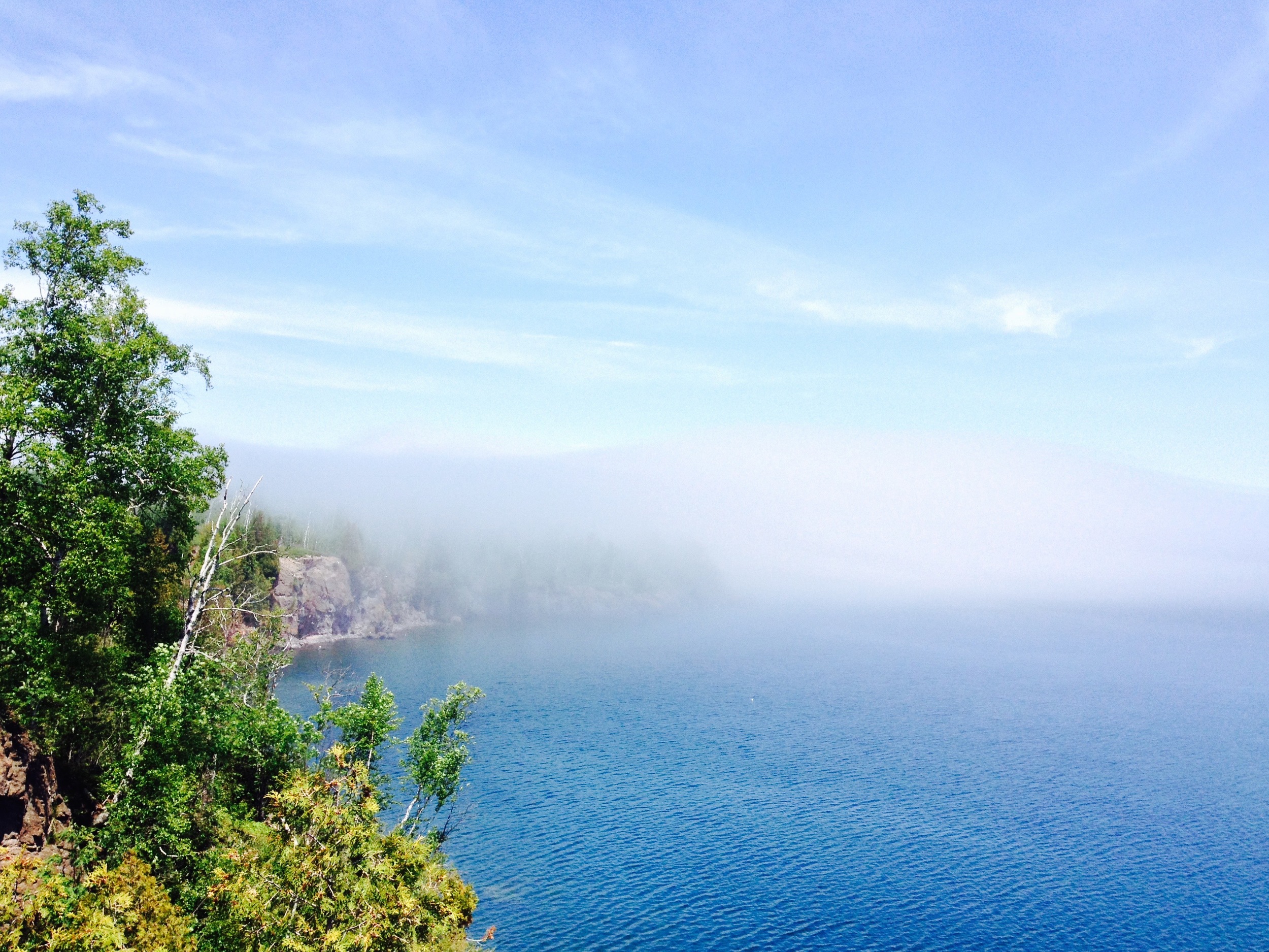
Foggy Day at the Picnic Grounds 

The Trail

The hiking club trail begins on the east side of the falls and follows the windy river to the shore. Unlike the trail’s twin on the other side of the river that leads to a rocky beach, the hiking club trail terminates on a high cliff overlooking the Gooseberry River’s mouth. You’ll begin by climbing through an open birch forest with great views of the valley.  After hitting Lake Superior, the trail follows the shoreline for a while before looping back through the mixed cedar/aspen forest. This is a great hike for the fall when the aspen turn gold and the lake is stormier.

Arbitrary Rating: 5/5​ 

Lake Bronson State Park

The Oak Savanna 

The Park: Lake Bronson State Park was one of many state parks across the country to be build by the Works Progress Administration (WPA), a Great Depression organization meant to creat jobs for young men. Like Hayes Lake, Lake Bronson is artificial. It was creates with a WPA build - the largest WPA project in the state. A number of other WPA structures were build in the park and the community of Lake Bronson hoped the park would become "a second Itasca" - (Itasca State Park is the oldest and most well known park in the system with over half a million visitors annually). Funds ran out, however, and the planned projects were never completed. Distance and obscurity mean Lake Bronson receives only a fraction of Itasca's visitors, but it is an exceptional park, nevertheless. 

Near where the trail starts at the boat launch there is this great little bayou. 

There are two main sections to the park - the lake and the parklands. The lake campground, where I stayed, is not private and filled with RV's, but being on the shore makes up for this. People all over the region use the lake recreationally and it was filled with jet skis, waterskiers, and fishermen. You can find lakes almost anywhere in the state, however, and it's the parklands that make this area unique. Oak savannas and aspen parklands rare in the state, but Lake Bronson has them abundantly. It is the best park in the system to see a moose and the only one that still has the occasional elk.

Sunset over Lake Bronson 

The Trail: Because of flooding, I was only able to do part of the Hiking Club trail (although I made it to the password!), but I made up for it by exploring many of the other trails in the park. Technically, you're supposed to begin the hiking club trail at the picnic grounds, but since that was underwater, I started at the boat launch. Follow the Aspen Parklands Interpretive Trail into the prairie. Watch out for divebombing swallows if you wander too close to their nests. The trail them loops into the woods (the mosquito infested woods). Groves of aspen mixed with oak and maple will lead you to the lake. Continue along the lake shore to the boat landing. While the lake is beautiful, it is hard to see from the trail and I preferred to spend my time on the prairie. I even retraced the path back onto the prairie and followed to the sand dunes and pioneer graveyard at the extreme northern section of the park. To me the woods and lake were lackluster, but the prairie and oak savanna made up for it and this was easily my favorite trail in the northwestern parks. 

The Hiking Club Trail. 

The Drive: I always love coming to an intersection and seeing an arrow pointing right with the word "Canada" below it. Lake Bronson State Park is considerably closer to Winnipeg than to the Twin Cities and I got the feeling that Hwy 59 - the route off of which Lake Bronson can be found - is mostly an express route to Winnipeg. It does pass through a number of great small towns, however, all of which claim to be the Moose Capitol of the North. I never saw a moose. 

The CCC Watertower. Lake Bronson was host to one of the largest CCC Camps in the state. 


Hayes Lake State Park

Dock at Lake Hayes State Park 

The Park: This 3000 acre park is centered around the man-made Lake Hayes. In many ways it feels like your typical north woods wilderness park. The heavily forested park offers habitat for bear, moose, deer, martin, as well as a variety of smaller animals. It is pleasant and is a great resource for people living in the area, but if you are looking for a great northwoods park, I would probably check out Scenic or McCarthy Beach first. I did venture off the hiking club trail at this park in search of a supposed fire tower somewhere in the northern part. Climbing fire towers is one of my favorite things to do at parks that have them, so I was supremely disappointed that after walking nearly an hour out of my way, I wasn't allowed to climb the tower! About a quarter of the way up the rickety ladder welded to the side of the tower, I began to realize why it was supposed to be off limits and climbed down again. If you make it out to the fire tower, take some time to look around the ruins of an old river town in the area as well. 

You get a little North Woods feel, but it's still pretty open. 

The Trail: The 2 mile hiking club trail follows Pine Ridge Trail on the north side of Lake Hayes from the main picnic area to the campgrounds. Most of the trail is interpretive, meaning there are signs describing what you are seeing periodically along the way. You'll pass through red pine and spruce forests, get great views of the lake, and see the more developed points of the park like the swimming beach and boat launch. If you have time, which I unfortunately didn't, you could continue onto a trail called the bog trail - probably worth it - before returning to your car. This was an easy hike, but the trails were very flooded and I felt like I was walking through water as much as dry ground - so try to visit during a dryer season.

Looking up from beneath the fire tower. 

The Drive: Hayes Lake is in the middle of nowhere. Farms and shrubby parkland and long straight roads. It could conceivably be a pleasant drive - put some music on and drive at completely unreasonable speeds because let's be honest, the closet state trooper's a hundred miles away (this blog in no way condones illegal driving activity nor claims the author participated in such) - but my drive was interrupted by constantly having to pull over and remove ticks from the nooks and crannies of my clothes and body. For the most part I don't really remember this drive, so there probably wasn't anything memorable about it. 

The Lake Hayes Dam